Casares is famous for its white village clinging to the mountainside, one of the most photographed in Andalusia. What almost nobody realises is that the municipality also has a coastline: a stretch of about two kilometres known as Playa Ancha or Casares beach, between Estepona and Manilva.
Getting there
Along the N-340 between Estepona and Sabinillas, at Casares Costa. Free parking beside the access points. From Casares village it’s around 18 kilometres of mountain road: this is not a beach you walk down to.
Facilities
- ✓ Lifeguard during the bathing season
- ✓ Beach bars on the sand
- ✓ Showers
- ✓ Free parking
- ✓ Sunbed hire in the central section
- ✓ Adapted access in the developed section
What it’s like
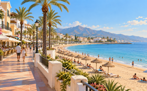
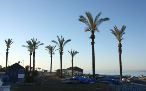
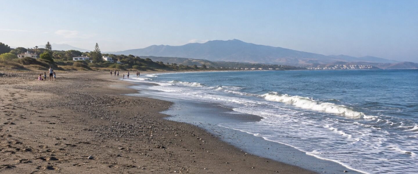
As the name suggests, it’s a wide beach: dark, coarse sand, plenty of space and low-density development behind. Occupancy stays low even in summer because it falls outside the main tourist circuits. The water is clean and the entry gradual.
The village, up above
It’s worth driving up to Casares village after the beach: white houses stacked on a crag crowned by a Moorish castle, with views reaching the Strait and the African coast on clear days. It’s also the birthplace of Blas Infante, regarded as the father of Andalusian nationalism.
When to go
June to September for swimming. The area is particularly pleasant in September, when the water is still warm and visitor numbers drop close to zero.
nn
Location and setting of Playa Ancha
Casares Tourism places Playa Ancha west of Torre de la Sal, beyond the Parrilla stream mouth, extending towards the Manilva river. It forms part of the municipality’s roughly two kilometres of coastline between Estepona and Manilva.
Planning your visit
Access is through the coastal area of Casares between the A-7 and the sea. Parking depends on public access points and changes with demand; do not assume an unpaved area is a supervised car park. Check current stops and timetables before relying on public transport.
Facilities and safety
Lifeguards, toilets, showers, loungers and restaurants vary through the year. Check the flag, signs and exact beach section on arrival. The council webcam can be a useful visual reference, but it does not replace safety instructions at the beach.
Nearby places
Torre de la Sal, a sixteenth-century coastal watchtower, helps explain the layout of this short coastline. Playa Chica, Playa de la Sal and Piedra Paloma lie to the east; the Manilva river marks the western end. Compare the nearby beaches of Manilva and the Estepona coast.
Frequently asked questions
Is this one two-kilometre beach?
Not exactly. Casares has several coastal sections; Playa Ancha is the part that opens towards the Manilva river.
Is it suitable for children?
That depends on the day’s waves, active services and chosen access point. Follow the flag and stay near operating facilities when visiting as a family.
Editorial review: 27 September 2026.